

UKSBAS (UK Space-Based Augmentation System)
Updated January, 2024
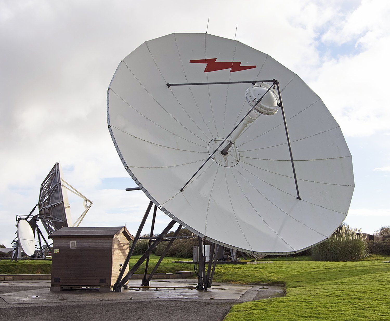
Since early 2022, Goonhilly Earth Station Ltd. has been working with partners Viasat and GMV NSL to test the creation of a sovereign national capability in PNT (positioning, navigation and timing), with critical applications for the aviation and maritime industries.
GPS signals are accurate to several metres. By overlaying a test signal known as a Satellite-Based Augmentation System (SBAS), signal measurement errors can be corrected and additional information can be provided to users about the accuracy, integrity, continuity, and availability of signals. Ultimately, position accuracy can be improved to just a few cm.
Led by Viasat, this project aims to assess whether UKSBAS is capable of fully and resiliently supporting safety-critical applications, where the smallest errors in measurement can cause large-scale problems. Initial assessments of the capability are focusing on its use in establishing precise navigation data for maritime and aviation users in UK waters and airspace.
Cases in which an enhanced signal offers an additional level of safety include the landing of planes and the navigation of ships through narrow channels – particularly in bad weather. In the future, the technology could also be used to support automated land-based vehicles and to improve precision-agriculture.
Using UKSA-funding, and as part of ESA’s Navigation Innovation and Support Program (NAVISP), the UKSBAS system offers a significant demonstration of collaboration across the UK space industry. Currently in its
demonstrator phase, the system comprises the following activities:
- GPS position measurements are compared against the precise location of land-based reference points, with GMV NSL in Nottingham using the accurate calculation of errors to document where deviation corrections need to be made. This information is packaged into an “SBAS message”.
- Goonhilly Earth Station is then responsible for checking the message and transforming it into a radio frequency (RF) signal, before sending it to Viasat’s geostationary satellite, using a communications antenna.
- The satellite then transmits the SBAS messages to users across the UK, who can use the information to supplement their GPS data, allowing for the correction of errors and increased positional accuracy.
At present, a loss of accurate PNT services would have a significant impact on UK infrastructure and, with an ever-increasing reliance on this space-based data, it is hoped that increasing the UK’s sovereign capabilities will support increased resilience across key sectors.
You can learn more about the project on lead partner
Viasat’s website.

Looking for a satellite communications solution for your next big project?
Get in touch to discuss how Goonhilly can help.
Partners


You might also like:


Goonhilly Earth Station Ltd (Company No-06896077) VAT No: 109807310 - Registered office: Goonhilly Downs, Helston, Cornwall, TR12 6LQ.